
Satellite imagery
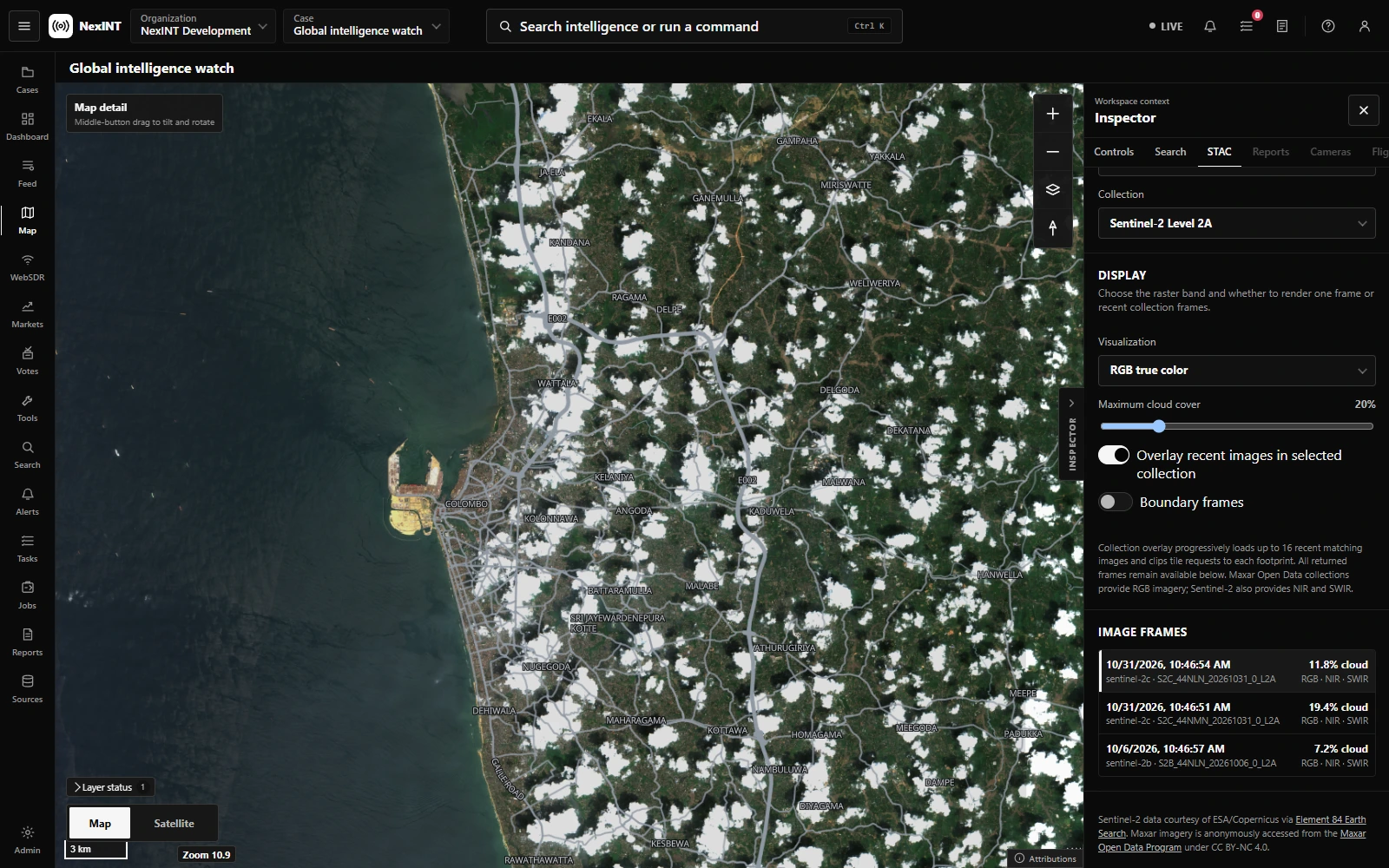
Explore satellite imagery with its capture time, cloud cover, and provider attribution alongside the map.
Monitor the world. Connect the evidence. Put your analysis to work, from one shared operational picture.
Get a quote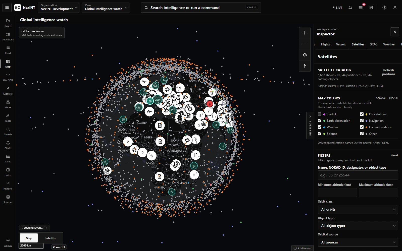
Bring geographic context to your work with satellite positions, flights, vessels, seismic activity, weather, and geolocated reports.
Captured in NexINT · Real map data
Move between sources, locations, cases, and briefings with the same operational context.
Explore satellite imagery with its capture time, cloud cover, and provider attribution alongside the map.
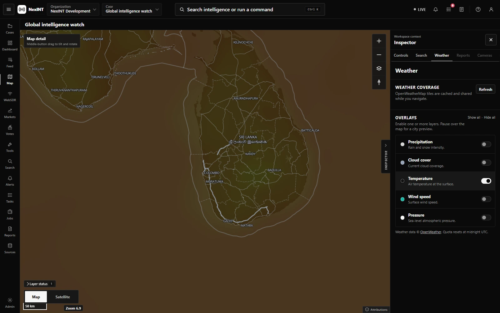
Compare weather overlays and local observations with the places and activity you are monitoring.
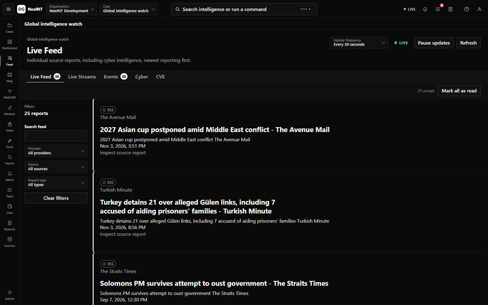
Review incoming source reports, filter by provider, and inspect the original reporting before adding it to your assessment.
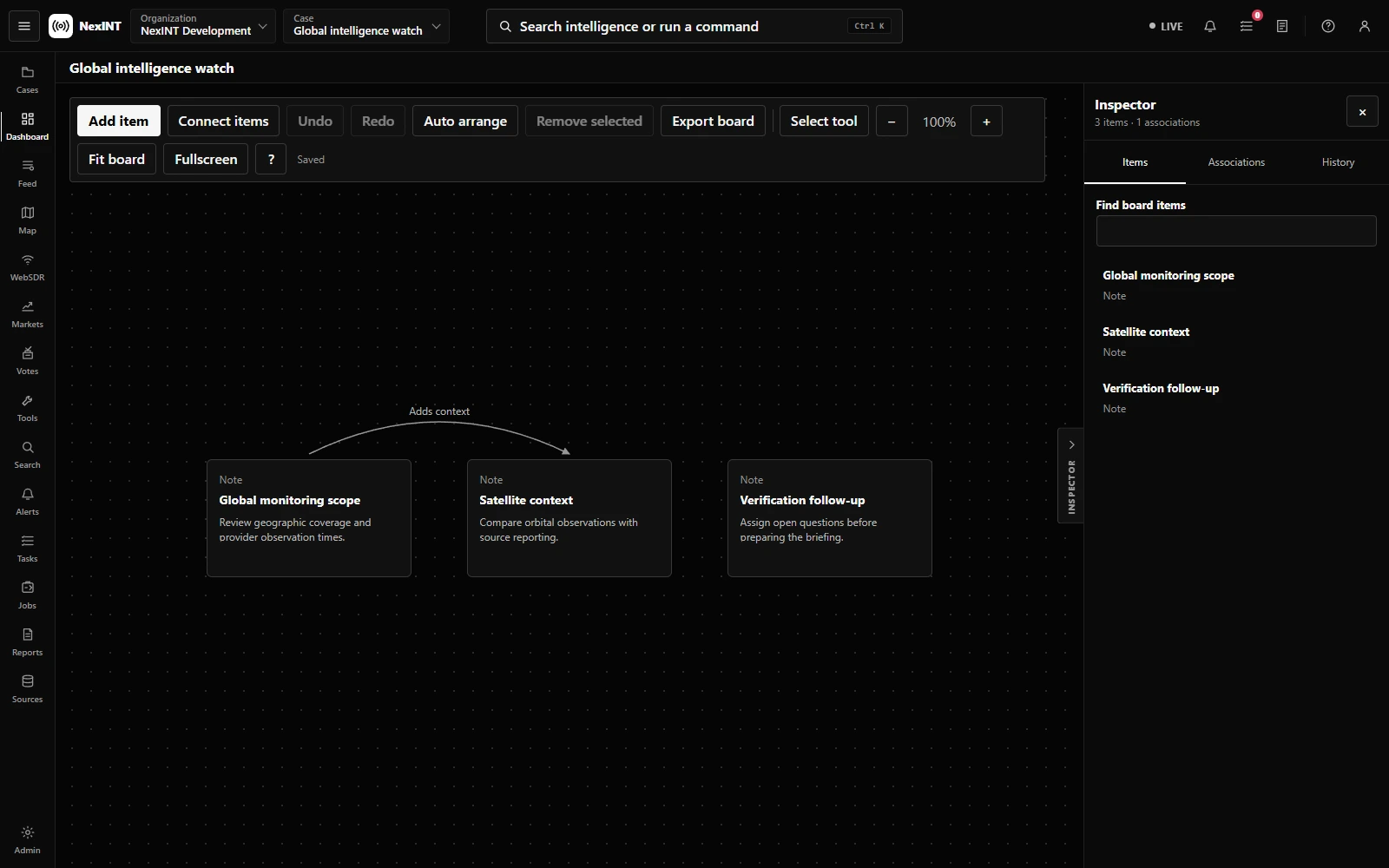
Arrange evidence, connect related items, and keep your analyst notes alongside the case you are building.
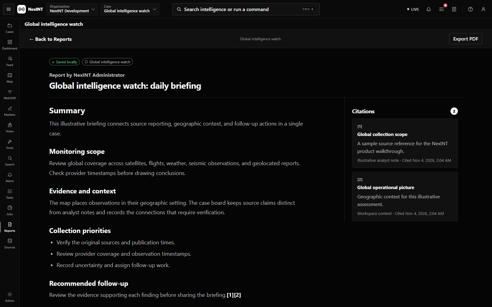
Bring findings and citations together in a report, with the underlying evidence close at hand.
Bring the relevant signals into your map. Availability and coverage depend on the providers configured for your workspace.
Bring your workflow.
We’ll show you where NexINT fits.